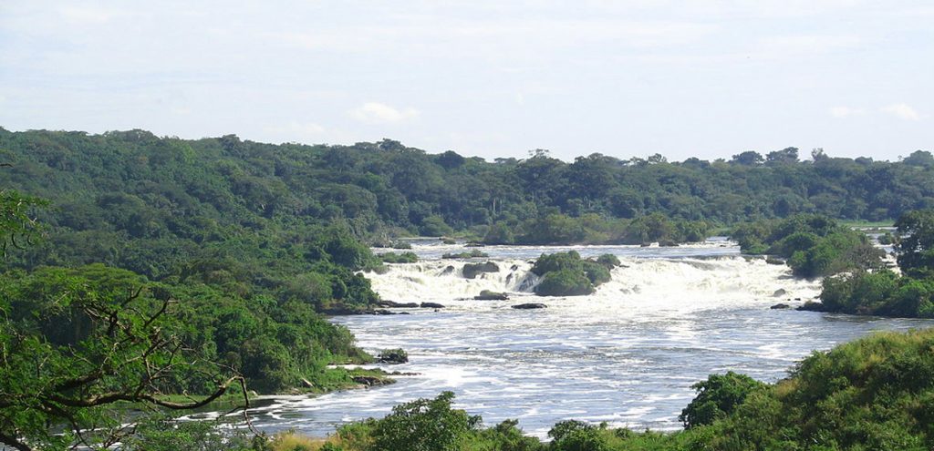
Karuma Falls is on the Kigumba-Gulu highway, immediately south of where the highway crosses the river Nile, at the Karuma Bridge. The Falls are approximately 97 kilometres (60 mi), by road, northeast of Masindi and approximately 77 kilometres (48 mi), south of Gulu, the largest city in northern Uganda.
The Falls are in the location of Karuma Power Station, the largest hydropower project in Uganda, with a planned capacity of 600 megawatts. The coordinates of Karuma Falls are 2° 14′ 3.00″N, 32° 14′ 47.00″E, that is at latitude: 2.234167 and longitude: 32.246390. The average elevation is about 1,000 metres (3,300 ft) above sea level.

The existence of Karuma Falls led to the presence of much wildlife within the area, associated with the biodiversity of the forested bank. This favored wildlife multiplication within the area, and as a result, the area was gazetted as a wildlife reserve in 1964, thus forming the current Karuma Wildlife Reserve that was to act as a buffer zone for Murchison Falls National Park.
Attractions at Karuma Falls
Wildlife species
There is a lot of wildlife species to see around the falls. These include birds, baboons, monkeys, elephants, butterflies, buffaloes, antelopes, warthogs and other mammals.
Tourism and photography
The beautiful falls comprise of a number of naturally cascading interlocking rock- formations that appear like a series of steps all the way to the bottom of the calm Victoria Nile. The art and order in which these rocks are arranged is very impressive, creating a scenic location for memorable photo moments, so you will be fascinated at first sight.
However, the area is under 24/7 tight security and photography is not allowed within the area. Clients are only expected to view but not take any photograph of the area or any animal. They are also not allowed to feed any animal like the baboons which loiter within the area.
