The distance between Kampala and Murchison Falls National Park is about 305 km, which is a 5-hour drive to the park. The journey usually begins from the main entry point into the country Entebbe International airport, which is about 47 km, at approximately one hour drive to Kampala, the capital city of Uganda.

Murchison Falls National Park has several access gates from both the south and the northern sections. The southern entrance gate known as Kichumbanyobo Gate is where you can access Paraa from Masindi town. The distance from Masindi town to this gate is about 85 km, crossing through the Kaniyo-Pabidi forest (Budongo Forest) to Paara. This is the shortest route from Kampala – Gulu highway.
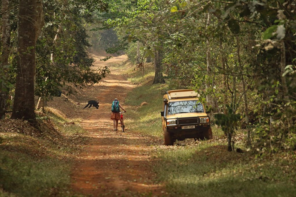
Bugungu Gate can also be accessed from Masindi at a distance of about 135 km, passing through Budongo forest, which is home of the chimpanzees. This route also takes you through the rift valley escarpment, giving you impressive views of the Albert Mountains in the Democratic Republic of Congo (DRC).
Northern Entrance Gates – Distance between Kampala and Murchison Falls
You can also access the Park from the north through Chobe Gate, via Karuma Falls and Tangi gate, which are north of the Nile. The gate that is close to Pakwach covers an area of about 25 sqkm to Paraa. Additionally, you can use Wankar Gate which is close to Purongo and Mubako gate.
All these gates are reached from the Kampala-Pakwach road which crosses the Nile at Karuma Falls Bridge in the northeastern corner of the park, at about 260 km from Kampala. These gates are convenient for visitors travelling to/from Guru town and Kidepo Valley National Park, making it the longest route.
By Air
Pakuba Airfield, which is 19 km from the north of Paraa, can be reached using chartered aircraft from Entebbe International Airport or Kajjansi airfield, near Kampala. This flight takes about only one hour. Other airfields in the park include Chobe on the east, and Bugungu airfield to the south, near Murchison Falls.
