Here is the best way of reaching Murchison Falls National Park, with great options either by road or by flight. Visit Uganda’s most spectacular park to enjoy wildlife viewing and boat safari experiences.
Reaching Murchison Falls by road.
It will take you around +5hours from Kampala, the capital of Uganda, to reach Murchison Falls National Park. This is a distance of about 305 km, taking about 2 hours on tarmac and 2 1/2 hours on murram road, before reaching the park. Paara ferry crossing area covers a distance of about 85km from Masindi town – which is the shortest route through Kichwambanyobo gate. A four-wheel drive is more suitable.
A direct or longer route will cover an area of about 135km. Alternatively, one may decide to take on the Budongo forest route. This will provide magnificent views overlooking Lake Albert from the direct position of the rift valley escarpment over Butiaba escarpment.
You can also access Paara from the north through Chobe Gate, Karuma Falls along with Tangi gate. The gate that is close to Pakwach covers an area of about 25 sqkm to Paara, in addition to Wankwar Gate that is close to Purongo.
Visitors who are on self-drive or using public means will definitely go through the Kichwambanyobo gate to the Nile and cross to Paraa using ferry means. It has a fixed time starting from 07:00 am to 19:00 pm. The ferry at Paraa operates on scheduled time between the southern and northern bank of River Nile.
The Park has access gates from the south for people traveling from Kampala through Masindi or those traveling from Fort Portal. It also has access gates in the north for people traveling from Kampala via Karuma or those traveling from Gulu or Kidepo Valley National Park.
Reaching Murchison Falls by Air.
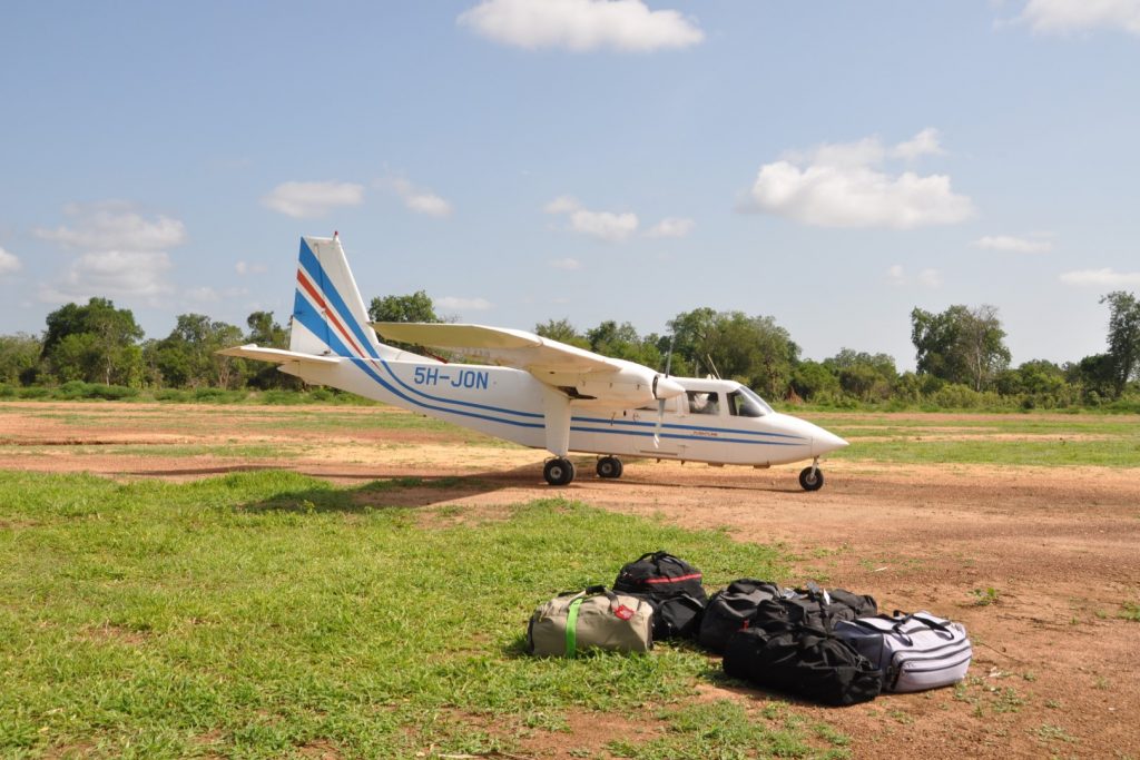
Murchison Falls National Park can also be accessed by air. Pakuba airfield is one of the landing sites for both scheduled and chartered flights. This is about 19 km from the north of Paraa while Bugungu covers an area of 13 km from Paraa.
You can access the park by taking scheduled/chartered flights from Entebbe International Airport or drive from Kampala which takes approximately 4 hours.
Other airfields in the park include Chobe on the eastern side, and Bugungu airfield to the south – near Murchison Falls.

Distances (km) in Reaching Murchison Falls
Below are the estimated kilometers by road access:
| Site | Distance (km) |
| Rabongo | 67 |
| Nyamusika | 14 |
| Top of falls (by road) | 34 |
| Top of falls (by water) | 17 |
| From Kampala to Paraa via | |
| Kichumbanyobo Gate | 304 |
| Bugungu gate | 353 |
Gates of Murchison Falls National Park
Southern Entrance Gates
- There are two approaches to Paraa, from the south, that lead out of Masindi town, which is a 4-hour drive (305km) from Kampala. Along the way to Masindi is the Ziwa Rhino Sanctuary – home to the only wild white rhinos in Uganda. You can track them on foot and support this important initiative to reintroduce rhinos to protected areas. The main route from Masindi enters the Conservation Area through Kichumbanyobo Gate to pass through Kaniyo-Pabidi Forest to Paraa (85km).
- A longer but more scenic alternative runs for 135km from Masindi to the park’s Bugungu gate, The route includes a passage through Budongo Forest and a memorable descent of the rift valley escarpment with views across Lake Albert towards the mountains of the Congo.
Northern Entrance Gates
Murchison Falls National Park can also be entered via the Chobe, Wankwar, Mubako and Tangi gates north of the Nile. These are reached from the Kampala-Pakwach Road which crosses the Nile at Karuma Falls Bridge, in the northeastern corner of the park. This is about 260 km from Kampala, the capital of Uganda. These gates are convenient for visitors travelling to/from Gulu town and Kidepo Valley National Park.
